|
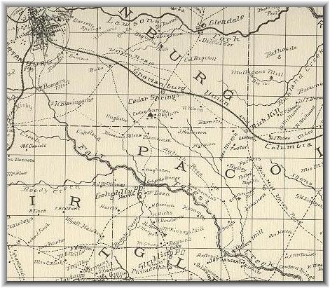
This image is a portion of a map of
Spartanburg
County based on an 1869 survey. The "Spartanburg, Union, and
Columbia"
railroad is the same Southern Line (Norfolk Southern today) that later
formed
the Northern border of the Camp. The road running south from the
"Bobo" homestead formed the West border and the bottom right corner of
this image approximate the Eastern and Southern borders.
|
 |